
Click to download now, finish the installation quickly, and directly unlock the all-round experience
Screenshots


















Click to download now, finish the installation quickly, and directly unlock the all-round experience
COtrip Planner is a Maps & Navigation app for checking current conditions on Colorado’s highways. It suits commuters, travelers, and commercial drivers who need more than turn-by-turn directions, especially when road closures, winter weather, or heavy traffic may affect a journey. The app is developed by STATE OF COLORADO OIT and has more than 100,000 installs.
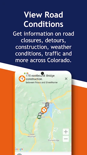
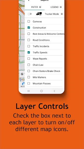
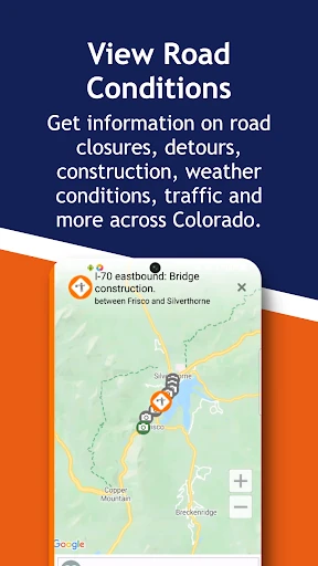
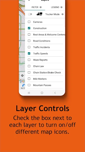
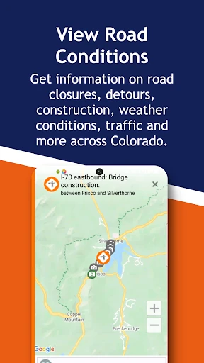
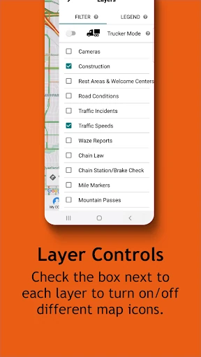
The app brings together state highway information such as traffic speeds, incidents, closures, and road-condition reports. A map-based interface lets you view relevant information across Colorado’s interstates and U.S. routes, helping you check a planned route before leaving or monitor changes while traveling.
COtrip Planner includes features aimed at Colorado’s changing mountain conditions. Winter reports and a snowplow tracker can help drivers understand how road maintenance is progressing during storms. Commercial vehicle operators can also use truck-focused information when checking restrictions and whether a route is suitable for larger vehicles.
With a rating of 3.03 from 455 reviews, the app receives mixed feedback from users. Its main value is official, Colorado-specific transportation information rather than broad navigation coverage. Drivers who regularly use the state highway network may find its live cameras, alerts, closure details, and seasonal tools particularly useful.